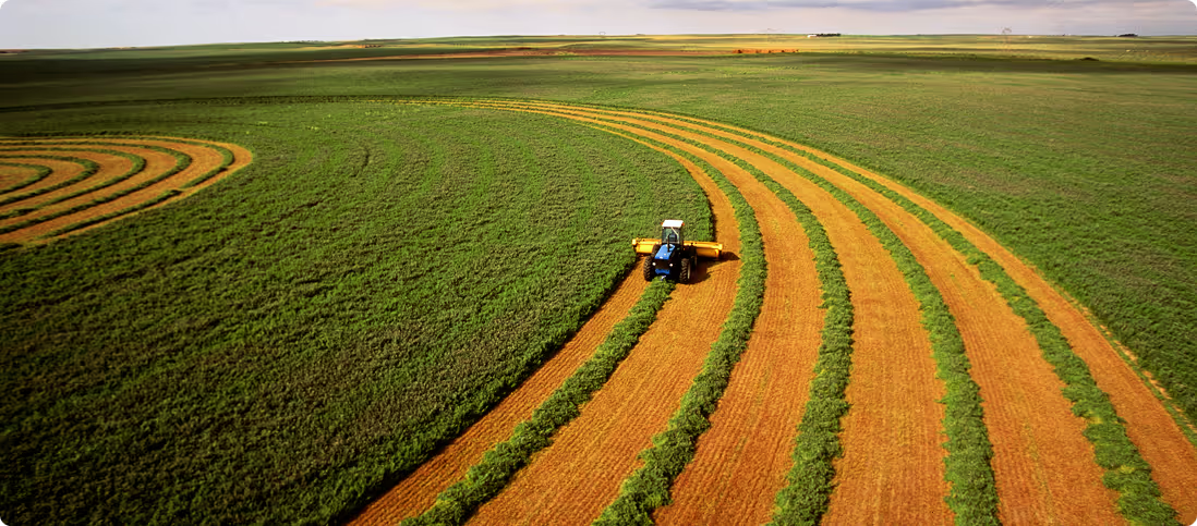
Rural Real Estate
The most comprehensive land, environment & climate reporting available for Australian properties
Agtuary provides real estate professionals in the rural sector with dedicated tools and data to serve their needs. Win deals, stand out from the crowd, and complete information for marketing & due diligence.
Start your 7-day free trialWhat we offer
- National sales, listings & ownership data
- Dedicated rural CMA for target market insights
- KYE due diligence reports to inform clients & buyers
- Win more deals & listings
- Develop rural expertise and know the land like a local
- Educate agents & buyers with environmental and sales history
If you're not using Agtuary, you're missing out
Agtuary gives property professionals an edge to help them stand out from the crowd.
- Win more deals & listings
- Sell more volume
- Educate agents & buyers with environmental and sales history
- Develop rural expertise
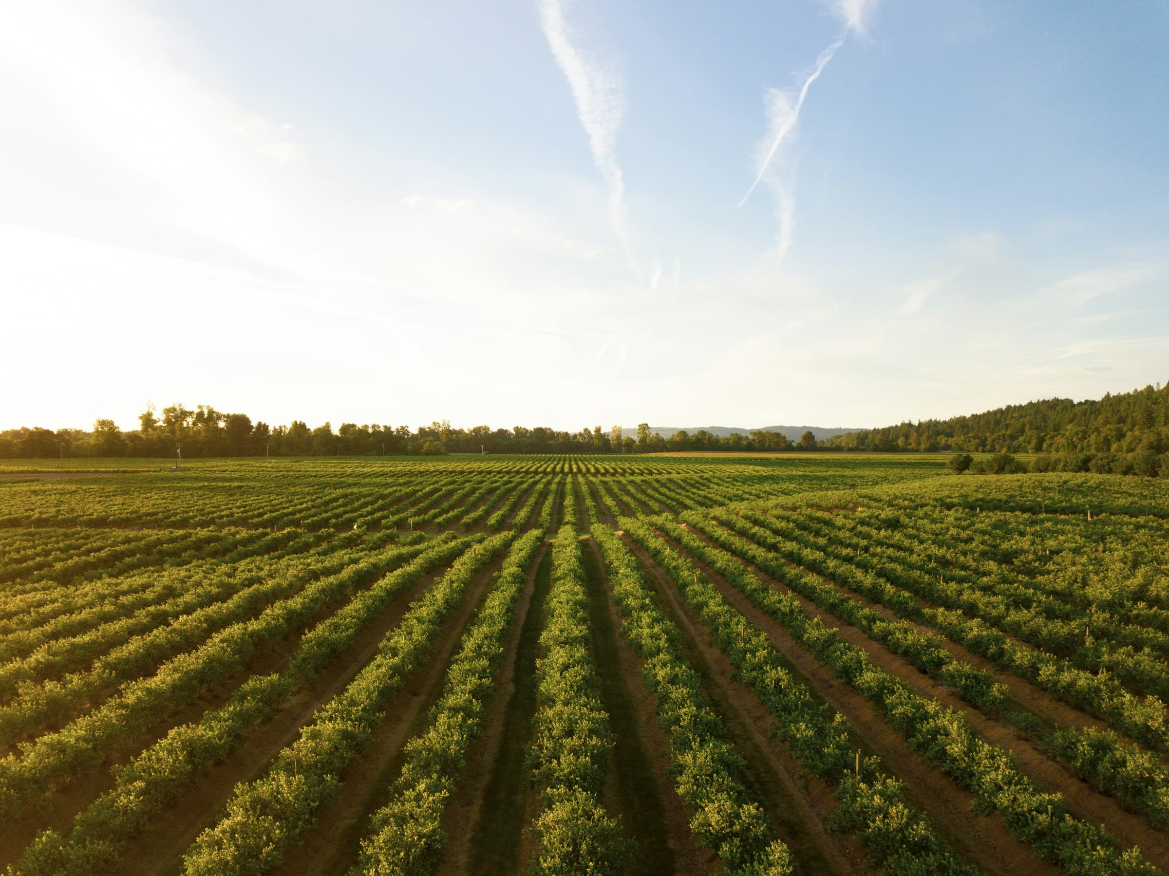
Source all of your property data needs
Agtuary is the only platform that provides specialised products for the rural property sector.
- Location information & title details
- Detected buildings
- Soil characteristics
- Current & historical listings
- Sales history & ownership data
The most comprehensive property reports available
KYE reports gather all property, land, environmental and climate data.
- Yield and production performance
- Land cover and arability
- Seasonal & long-term rainfall patterns
- Fire risk, fire history
- Climate change forecasts