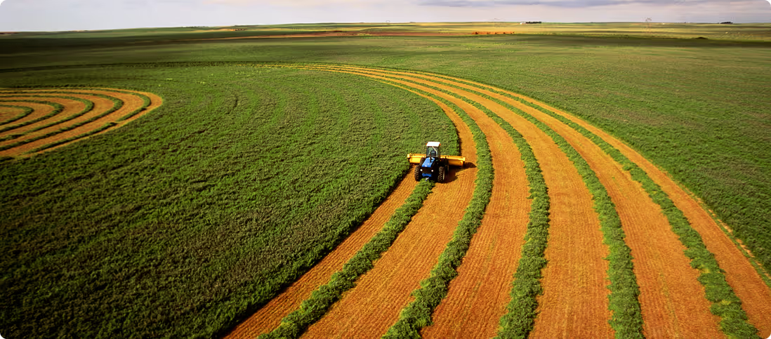
Property & Portfolio Deforestation Analysis

The most comprehensive land, environment & climate  reporting available for Australian properties

Analysis and continuous deforestation insights at any scale

Wether assessing one property or ten thousand, Agtuary’d Deforestation analysis has got you covered

Agtuary Forest Watch analyses where deforestation has occurred, whether remnant forest or regrowth was cleared, and whether clearing took place on steep slopes or near waterways.
  • Customisable compliance with Australian, EU or USA EPA regulations and definitions
  • Instant self-serve reports available
  • Bespoke & customisable portfolio level analysis
  • Land Cover and arability
  • Soil characteristics, classification & terrain
  • Forest, land cover and land use change
Contact us for a demo

Native vegetation loss and regeneration monitoring

Monitor forestry, agricultural land, natural habitats and more for signs of change

We detect native vegetation extent and changes and similarity to remnant reference sites over time using:
  • satellite imagery up to a weekly basis
  • We benchmark health by comparing with a library of over 200,000 pristine locations
  • Monitor for land use change wether land clearing or rehabilitation
  • Automated warnings & multi-site overviews anywhere on Earth
Contact us for a demo

Rural property is inherently tied to the environment, the characteristics of the land and the climate

Without the addition of the environmental, climate and land characteristics information alongside all of the regular property data (sales, assets, location information) you’re only getting half the story. To get the the full picture of rural land all of these aspects need to be tied together.
Sign up for free